Where the Park Becomes a Lake: Austria's Grüner See
In the foothills of the Hochschwab mountains, a meadow floods each spring, transforming a hiking trail into an underwater world.
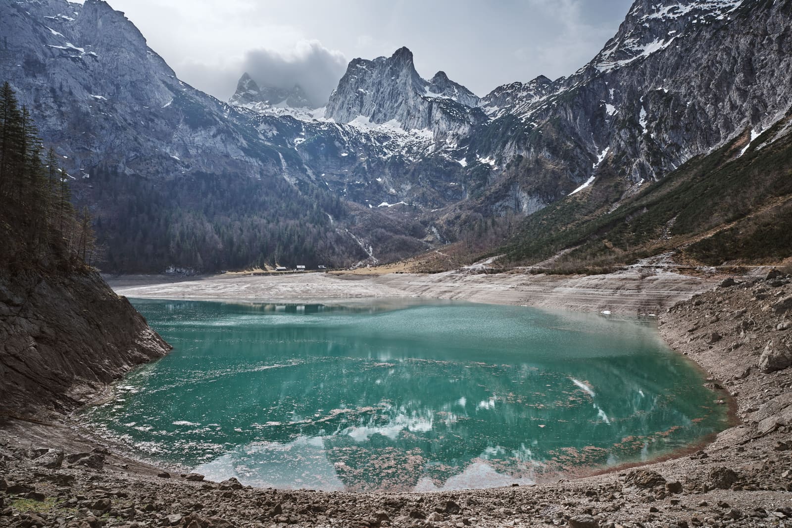
A Seasonal Metamorphosis
In the Styrian basin, where the Hochschwab massif rises above the village of Tragöss, there exists a place that refuses to be one thing. For half the year, Grüner See is a shallow pond ringed by alpine meadow. Wooden benches face the mountains. Gravel paths trace the perimeter. Wildflowers grow where, in a few months, fish will swim.
Then the snow begins to melt.
By late May, the meadow has vanished. The benches sit submerged, their slats wavering beneath two metres of water. The footpaths become corridors for trout. What was earth in March is lakebed by June, and the transformation happens with such regularity that the local tourism board lists it not as anomaly but as feature: a lake that appears on schedule, then retreats.
The phenomenon is neither magic nor accident. It is hydrology made visible, the Alps demonstrating what happens when winter's accumulation meets spring's warmth. Grüner See, which translates to Green Lake, swells each year as meltwater descends from the Hochschwab range, filling the basin to depths that fluctuate between one and twelve metres depending on the severity of the preceding winter. By midsummer, the water begins its slow withdrawal. By autumn, the lake has largely drained away, leaving behind the meadow once more.
The Colour That Gives the Lake Its Name
The name is literal. The water, when it arrives, carries the particular emerald clarity that comes from snowmelt filtered through limestone. Visibility extends for metres, even at depth. Divers who once descended here, before the practice was restricted, reported seeing blades of grass still upright on the lakebed, park benches intact, bridges crossing paths that led nowhere but down.
The green is not algae or mineral stain. It is light refracted through water so pure it functions almost as glass, tinted by the vegetation submerged beneath. In certain conditions, when the sun is high and the surface undisturbed, the lake takes on the hue of jade held to a window, green bordering on luminous.
This clarity made Grüner See a destination for divers throughout the 1990s and early 2000s. The lake became internationally recognised, not for its size or depth, but for the surreal experience of swimming through a drowned park. Photographs circulated online: divers gliding over benches, peering at trail markers, following footpaths that curved gently downward into the murk.
When the Divers Went Too Far
The attention proved damaging. By the mid-2000s, Grüner See was receiving thousands of visitors each spring, many of them divers eager to explore the submerged landscape. The ecosystem, adapted to the lake's seasonal rhythm, was not adapted to human traffic. Sediment stirred by fins clouded the water. Plants were trampled. The lakebed, subjected to repeated disturbance, began to show signs of erosion.
In 2016, local authorities imposed a diving ban. The lake was reclassified as a protected natural monument under Styrian law, and all underwater activity was prohibited. The decision was not universally popular. Tour operators protested. Dive shops in nearby Bruck an der Mur saw revenue decline. But the ban held, and within two seasons, the water's clarity returned.
Today, visitors may walk the perimeter, but they may not enter the water. The benches remain submerged each spring, visible but unreachable, a landscape preserved by restriction.
The Village That Learned to Live with Flux
Tragöss, the nearest settlement, has adapted its calendar to the lake's. Guesthouses advertise peak water season, typically mid-May through July. Hiking guides adjust routes based on lake levels. The local trail network includes alternate paths that activate only when the primary routes are underwater, a kind of topographic call-and-response.
The adaptation is not new. Records from the 19th century describe the meadow's seasonal flooding, though whether it was then considered a curiosity or simply a feature of mountain life is unclear. What has changed is the framing. Where earlier generations saw inconvenience, contemporary Tragöss sees draw. The lake's impermanence has become its selling point, a natural spectacle that rewards timing and punishes delay.
Photographers arrive in May, hoping to catch the lake at its fullest. Hikers return in October, when the water has receded and the meadow reappears, still damp, the grass flattened in patterns that suggest current. There is no single best time to visit Grüner See. There are only different versions of it, none more authentic than the others.
What the Lake Teaches About Landscape
Grüner See resists the permanence we typically associate with geography. It is not a lake that occasionally drains, nor a meadow that occasionally floods. It is both, in alternation, neither state more true than the other. The cycling is not a disruption of the landscape's natural order but a demonstration of it.
This seasonal flux challenges the assumptions embedded in place names and map labels. A lake, we expect, is always a lake. A park is always a park. Grüner See insists otherwise, and in doing so, it offers a reminder that many landscapes exist in states of becoming rather than being. The Alps are full of such places: rivers that vanish underground, glaciers that advance and retreat, meadows that bloom and die back in cycles measured not by days but by decades.
What makes Grüner See unusual is not the phenomenon itself but its accessibility and visibility. The transformation happens on a human timescale, in a location easily reached from Graz or Vienna. It can be witnessed, photographed, returned to. The lake does not require specialised knowledge to understand. It requires only attention and, ideally, patience.
Visiting Now
Access remains straightforward. Tragöss lies roughly 70 kilometres north of Graz, reachable by car in just over an hour. Public transport options exist but require transfers. The trailhead sits at the edge of the village, marked by a small car park that fills quickly during peak season.
The walk to the lake takes 20 minutes, mostly flat, through mixed forest that opens onto the basin. Signage is minimal but adequate. In summer, when the water is high, the lake's edge is clearly defined. In winter, when it has receded, the boundary becomes vague, the meadow damp and indistinct.
There is no entrance fee, no visitor centre, no guided tours. Grüner See remains largely uncommercialized, a function of its protected status and the difficulty of monetising something that exists only part-time. The infrastructure is limited to the trail itself and a handful of benches, the ones that stay above the waterline.
The diving ban remains in effect, and enforcement is sporadic but real. Fines are issued. The local gendarmerie patrols during peak season, particularly on weekends when visitor numbers spike. Swimming is similarly discouraged, though the prohibition is less absolute. Wading is tolerated in shallow areas, but the water is cold, even in July, fed by snowmelt that has spent months beneath the surface.
The Lake That Refuses to Stay
Grüner See will flood again this coming spring, as it has for centuries, as it will for centuries more, barring some catastrophic shift in climate or hydrology. The benches will submerge. The paths will disappear. The meadow will become lakebed, and the cycle will begin again.
There is no moral to this, no lesson beyond what the lake itself demonstrates: that some places are defined not by what they are but by what they do, by their refusal to remain fixed. Grüner See is a lake in summer, a meadow in winter, and in the months between, it is both and neither, a place in the act of changing, which is perhaps the most accurate description of any landscape, if we watch long enough.